Description
Ideal for bushwalking
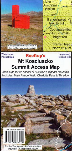
This map is a handy pocket-sized map of access tracks to and from the highest mountain in Australia. It includes walking tracks from Thredbo and Charlottes Pass as well as The Main Range Walking Track.
Scale: 1:25,000
Edition: 1
Published: 2008
Additional product information
| Edition | 2nd edition. |
| Publication date | 2016 |

